Forestry Mulching
Turn thick brush and unwanted growth into usable ground.
K4 Landworks
Home › Service Area › LaGrange
Reclaim overgrown LaGrange acreage, fence rows, trails, and property access with a site-specific forestry mulching plan and clearly defined work limits.
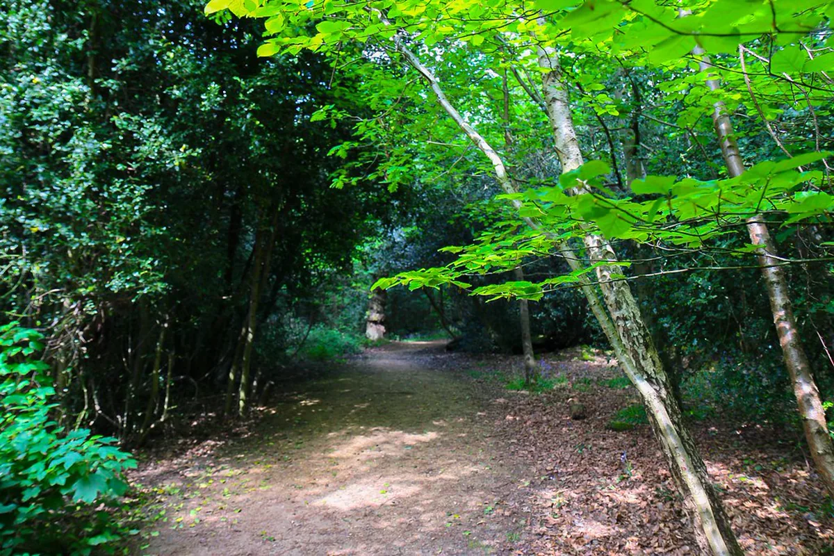
LaGrange property owners often call because access has become the main problem. An old trail may be closed, a fence row may be hidden, or brush may stand between the entrance and a hunting or maintenance area. We can help you plan forestry mulching around the route, visibility, or usable space you want to regain.
Trail and hunting-property access are a strong focus for us. We can discuss walking trails, ATV or UTV routes, shooting lanes, food-plot access, and connections between existing paths. We’ll also talk about the desirable trees and cover you want to retain. More clearing isn’t always better when a selective line will serve the property more effectively.
Bring a simple map if you have one. Mark the entrance, boundaries, destination, existing paths, and the first priority. During the property walk, we’ll compare that plan with equipment access, turns, vegetation, slope, soft ground, private utilities, septic features, wire, and neighboring areas. Another line may make more sense once you see the whole route on foot.
Mulching processes brush and woody growth along the agreed area and leaves the material behind. Roots, low stumps, rocks, and uneven soil can remain. A mulched trail provides access through vegetation, but it doesn’t include a stone surface, built drainage, or other road work. We’ll talk through the finish before quoting.
Send photos of the entrance, current route, representative growth, and destination. Tell us whether the route is for walking, hunting, an ATV or UTV, or property equipment. We will review the fit, walk the site with you, and prepare a quote around the chosen line and the result you need.
Where several destinations are possible, rank them before we walk. Reaching a stand, boundary, field edge, food-plot area, or maintenance destination can lead to different routes. A clear first priority helps avoid unnecessary clearing and gives the quote a purpose you can check when the work is complete.
Turn thick brush and unwanted growth into usable ground.
Open up land that has become difficult to use.
Take back fence lines, field edges, and problem areas.
Get where you need to go on your own land.
Make hunting property easier to access and manage.
Send us your property location, a few photos, and what you want accomplished. We’ll review the project and talk through the next step with you.
REQUEST YOUR FREE ESTIMATE